—
Total Campsites
Campground
—
Reservable Sites
Check by phone
—
Accessible
ADA-compliant sites
Organization
Overview
About PULLTITE
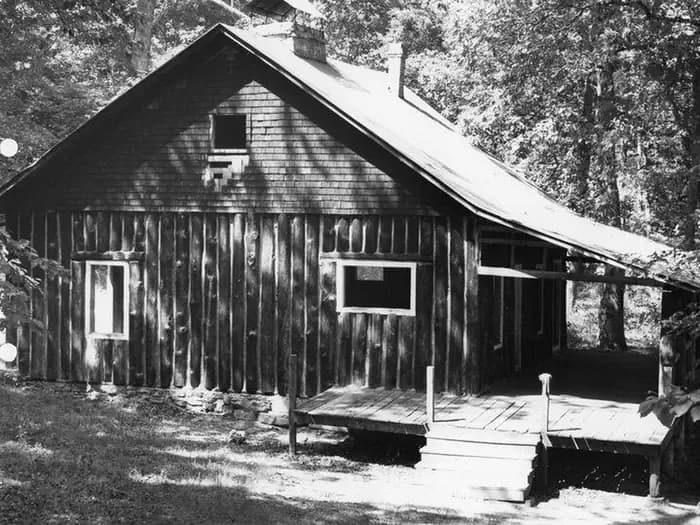
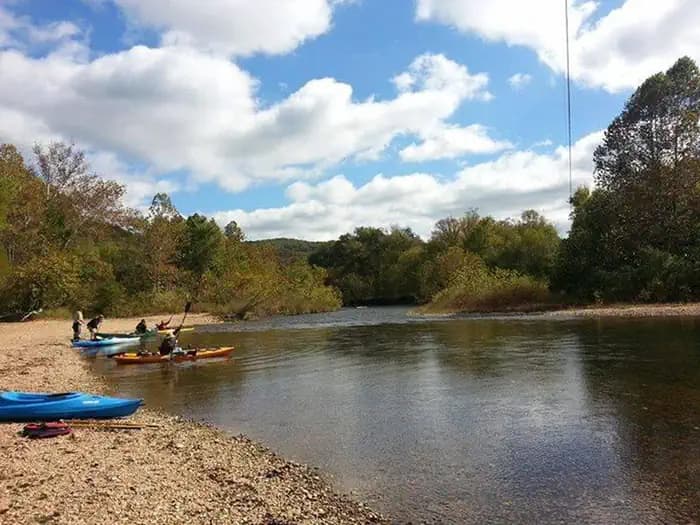
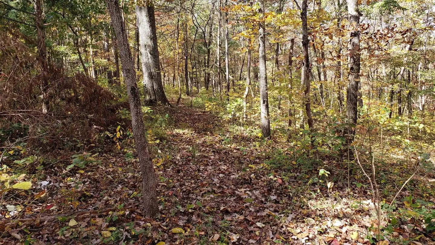
Overview In the rolling, forested landscapes around Pulltite, two of America's most beautiful spring-fed rivers combine to make up the Ozark National Scenic Riverways. As the first national park area to protect a wild river system, visitors have plenty of scenic water activities to enjoy as well as hiking, horseback riding and wildlife viewing. Recreation The Current River flows past the campground, offering excellent canoeing, tubing, swimming and fishing. Over 130 miles of waterways exist within the park. Canoe and kayak rentals and outfitters can be found nearby. The historic Pulltite Cabin is across the river from the campground. The only way to see the cabin is by boat or by wading across the river. The cabin is next to scenic Pulltite Spring, for which the campground is named. Several miles of hiking and horseback riding trails crisscross the region, include the Alley Overlook Trail, Chubb Hollow Trail, Ozark Trail, Cave Spring Trail and Big Springs Trail. Facilities The Current River flows past the campground, offering excellent canoeing, tubing, swimming and fishing. Over 130 miles of waterways exist within the park. Canoe and kayak rentals and outfitters can be found nearby. The historic Pulltite Cabin is across the river from the campground. The only way to see the cabin is by boat or by wading across the river. The cabin is next to scenic Pulltite Spring, for which the campground is named. Several miles of hiking and horseback riding trails crisscross the region, include the Alley Overlook Trail, Chubb Hollow Trail, Ozark Trail, Cave Spring Trail and Big Springs Trail. Natural Features The Ozark National Scenic Riverways is known for its caves, springs, sinkholes and losing streams, and features over 300 identified caves within its boundaries. They range in size from a rock overhang to almost seven miles of identified passages. Eight caves, including an open sinkhole, have been designated as outstanding natural features. The Ozark forest is mostly White oak and Shortleaf pine, Missouri's only native pine species. Along the rivers, Sycamore, Cottonwood, River birch and maples are common. Redbud and Dogwoods are also abundant, putting on a spectacular show during most spring months. contact_info This location is unstaffed. To speak with our main office for general information, please call: (573) 323-4236. Nearby Attractions Scenic Round Spring Cave is nearby, with ranger-guided tours offered daily during summer months. Historic and picturesque Alley Mill and Alley Spring are also nearby. The mill is open daily in the summer and rangers offer tours upon request.
- Map coordinates are available for trip planning.
Reservations & Contact
Plan your stay
Phone
573-323-4236
OZAR_Campground_Operations@nps.gov
Getting There
Pulltite Campground is located at the end of EE Highway. From Salem, Missouri, take Highway 19 south for 32 miles and turn right onto EE.
FAQ
Common questions
Everything you need to know before your trip to PULLTITE.
How do reservations work for PULLTITE?
Reservation availability for PULLTITE can vary by season and campsite type. Check the contact and access section before booking.
What campsite types are available at PULLTITE?
Campsite type details are limited right now. Check back as this listing is enriched.
Where is PULLTITE located?
PULLTITE is in Missouri near SALEM. Coordinates: 37.3344, -91.4831.
Keep Exploring