
—
Total Campsites
Campground
—
Reservable Sites
Check by phone
—
Accessible
ADA-compliant sites
Organization
Overview
About BUFFALO POINT
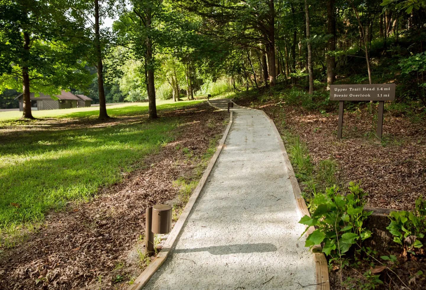
Overview Buffalo Point is a convenient, fun-filled destination for families and adventurists of all types. It's perched along the Buffalo National River, providing exciting river sports and hiking opportunities. In peak season, a restaurant is open at the facility, serving up meals for those who want a break from preparing them. Recreation The wild river is a gathering place for water activities. Many campers spend their days fishing, hiking, canoeing or kayaking. Evenings are ideal for gathering next to the fire to revamp for another great day out on the river. Facilities The wild river is a gathering place for water activities. Many campers spend their days fishing, hiking, canoeing or kayaking. Evenings are ideal for gathering next to the fire to revamp for another great day out on the river. Natural Features The campground is set along Buffalo National River, one of the few free-flowing rivers remaining in the contiguous United States. The river runs 135 miles without dams and cuts through the Arkansas Ozarks and into the White River. The region is surrounded by droves of lush hardwood trees and grassy open meadows. Nearby Attractions Two popular attractions within the Buffalo Point Area are the Indian Rockhouse Trail and the Rush Historic District. Rush was a zinc mining community until the zinc market collapsed and the settlement was deserted. Tours about the town's history are available. Buffalo Point is the former Buffalo River State Park developed in the 1930's as project of the Civilian Conservation Corps. Blanchard Springs Caverns, an extraordinary living cave, is a one-hour drive from Buffalo Point. Charges & Cancellations Please see the Recreation.gov Rules and Reservation Policies .
- Map coordinates are available for trip planning.

Reservations & Contact
Plan your stay
Phone
870-449-4311
Getting There
From Springfield, MO: Take Highway 65 South through Branson to Harrison. Stay on Highway 65 through Harrison, turn left on Highway 62 and travel to Yellville. At Yellville turn right on Highway 14 East. Travel 17 miles (27 km) to Highway 268 East. Turn left on 268 to Buffalo Point. From Little Rock, AR: Take Highway 65 North to Marshall, at Marshall turn right on Highway 27 North about 11 miles (18 km) to Harriet. Turn left on Highway 14 West and travel about 14 miles (22.5 km) to Highway 268 East. Turn right on Highway 268 to Buffalo Point.
FAQ
Common questions
Everything you need to know before your trip to BUFFALO POINT.
How do reservations work for BUFFALO POINT?
Reservation availability for BUFFALO POINT can vary by season and campsite type. Check the contact and access section before booking.
What campsite types are available at BUFFALO POINT?
Campsite type details are limited right now. Check back as this listing is enriched.
Where is BUFFALO POINT located?
BUFFALO POINT is in Arkansas near YELVILLE. Coordinates: 36.0854, -92.5657.
Keep Exploring