—
Total Campsites
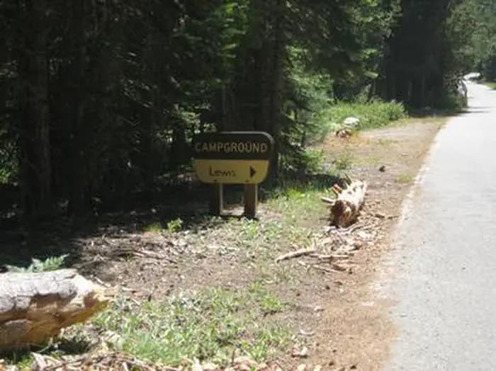
Campground
—
Reservable Sites
Check by phone
—
Accessible
ADA-compliant sites
Organization
Overview
About LEWIS
Overview Lewis Campground is located on French Meadows Reservoir in the Tahoe National Forest, 40 miles east Foresthill. Visitors enjoy the area for its fishing, boating and trail opportunities. Recreation Popular activities on the reservoir include boating, canoeing, fishing and swimming. McGuire boat ramp is located within a mile of the campground. The Middle Fork American River can be accessed nearby and provides fishing and swimming. A variety of hiking and biking trails are found in the surrounding area, including the Western States Trail, Tevis Cup Trail, and some that provide access to the nearby Granite Chief Wilderness. Facilities Popular activities on the reservoir include boating, canoeing, fishing and swimming. McGuire boat ramp is located within a mile of the campground. The Middle Fork American River can be accessed nearby and provides fishing and swimming. A variety of hiking and biking trails are found in the surrounding area, including the Western States Trail, Tevis Cup Trail, and some that provide access to the nearby Granite Chief Wilderness. Natural Features The campground sits on the north shore of French Meadows Reservoir in a coniferous forest. The reservoir is on the Middle Fork of the American River and is the western gateway to the Granite Chief Wilderness. Nearby Attractions Lewis Campground is a recreation site within the French Meadows Recreation Area which includes many other recreation facilities. The Granite Chief Wilderness can be accessed nearby at Talbot Trailhead and access to the Western States Trail and Tevis Cup Trail also can be accessed nearby. Other recreation opportunities include many hiking, equestrian, mountain biking, and motorcycle singletrack trails, Duncan Canyon, Duncan Peak Lookout, Robinson Flat historic ranger station, Placer County Big Tree Grove Botanical Area, and Grouse Falls Scenic Area.
- Map coordinates are available for trip planning.


Reservations & Contact
Plan your stay
Phone
530-367-2224
Getting There
High clearance vehicles may take Foresthill Rd to the 43 Rd (Robinson Flat Rd) to Mosquito Ridge Rd, snow permitting. Access from Soda Springs and the 43 Rd is not recommended for trucks with trailers, motorhomes/RV's or passenger vehicles that are not high clearance vehicles with four wheel drive. It is 6 miles around the lake to the north shore, Lewis Campground will be on the right.
FAQ
Common questions
Everything you need to know before your trip to LEWIS.
How do reservations work for LEWIS?
Reservation availability for LEWIS can vary by season and campsite type. Check the contact and access section before booking.
What campsite types are available at LEWIS?
Campsite type details are limited right now. Check back as this listing is enriched.
Where is LEWIS located?
LEWIS is in California near Foresthill. Coordinates: 39.1321, -120.4169.
Keep Exploring